About Us
About Us
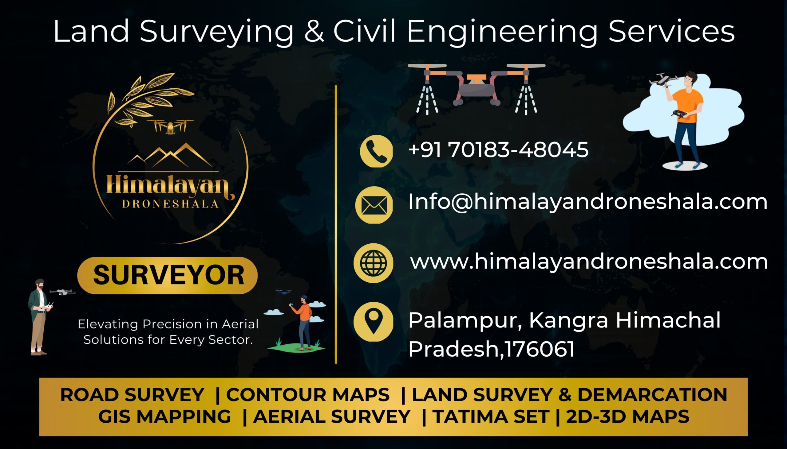
At Himalayan Droneshala, we provide services in:
- LiDAR and orthophoto mapping
- Infrastructure surveys for pipelines, overhead tanks, and distribution systems
- Contouring and elevation analysis for topographic planning
- Customized aerial solutions tailored to the needs of local and regional projects
Our approach blends cutting-edge drone technology with local knowledge, enabling us to support both public and private sector clients across Himachal Pradesh and beyond. With a commitment to quality, safety, and innovation, we’re shaping the future of survey solutions—one flight at a time.
Himalayan Droneshala is an expert drone survey firm located in the picturesque town of Palampur, Himachal Pradesh, committed to transforming the approach to mapping and monitoring infrastructure, development, and environmental projects. Our goal is to provide decision-makers, engineers, and planners with actionable knowledge in the form of high-quality aerial data faster, safer, and more economically than ever before.
We proudly boast to have India's first DGCA-approved drone pilot, Mr. Akshay Mishra, whose innovation has raised the bar for drone operations in the country. Together with him is Mr. Tanmay Chaudhry, an experienced and certified DGCA RPAS Drone Pilot, whose experience in drone-based data collection guarantees that each project is completed with accuracy and reliability.
Our Services
- Aerial Surveys: High-definition aerial mapping with drone-mounted sensors to capture rapid and precise data across any terrain.
- Topographical Surveys: We produce accurate elevation models and surface data, best suited for land development, building, and green planning.
- Contour Mapping: Our contour maps created using drones provide precise elevation information required for slope analysis, water flow design, and engineering design.
- Cross-Sections (X-Sections) & Longitudinal Sections (L-Sections): Essential for road, canal, and pipeline construction projects, our X-Sections and L-Sections are generated automatically, giving precise ground profiles quickly and economically.
- Infrastructure Inspection: We perform visual and thermal inspections of bridges, roads, tanks, and pipelines, assisting in the identification of maintenance requirements without human exposure or downtime.
- Geotagging & Demarcation: We deliver precise geotagging of physical assets and land boundaries, beneficial to rural development, irrigation, and urban planning departments.
Why Choose Us?
Our skill and reliability have gained the trust of key departments in Himachal Pradesh, such as:
- HPPWD (Himachal Pradesh Public Works Department)
- HIMUDA (Himachal Pradesh Housing and Urban Development Authority)
- Jal Shakti Vibhag
These associations are a testament to our proven track record in delivering important public infrastructure and water resource projects.
At Himalayan Droneshala, we believe drones are not just tools—they’re catalysts for smarter, faster, and more reliable development. Whether you're planning a highway, inspecting infrastructure, or mapping rural assets, our team delivers data you can trust—from the sky, with precision.