About Us
We provide best drone shoot services in India.
Welcome to Himalayan Droneshala LLP, where innovation meets precision in aerial solutions. Our dynamic team, led by Akshay Mishra (CEO and CTO), Tanmay Chaudhry (COO and Client Relationship Manager and Siddhanth Chufal (CEO and CMO), collectively form a powerhouse of expertise in designing drone solutions.
Read More450
+
Projects done
2500
+
Flights Completed
A Constellation of Visionaries
Our team isn't just a roster of licensed RPCA pilots and data maestros – they're aerial architects, passionate visionaries bound by the thrill of innovation and the mission to exceed every expectation. We're a family, each flight fueled by collaboration and the unwavering desire to propel your project to new heights.
Beyond Boundaries, Beyond Limits
Himalayan Droneshala isn't just fueled by innovation, it's ignited by an insatiable hunger to push boundaries. We constantly explore new frontiers, expanding our capabilities and redefining what's possible with aerial intelligence. With every flight, we rewrite the playbook, unlocking a world where data takes flight, and insights illuminate the path forward.
Ready to soar with us?
Contact Himalayan Droneshala today and let's explore how we can elevate your project to uncharted heights. We're ready to take fligh
Contact Us
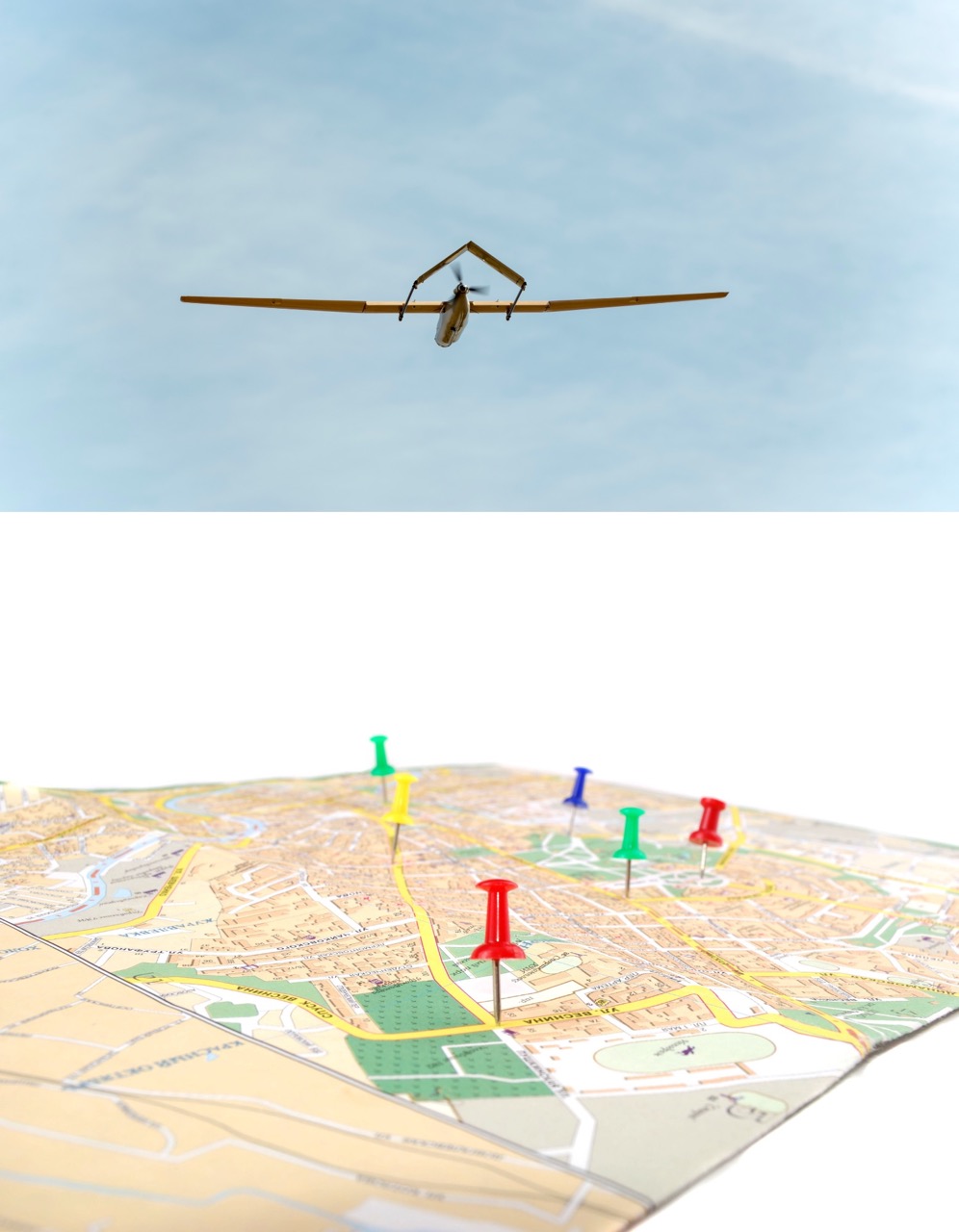
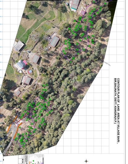
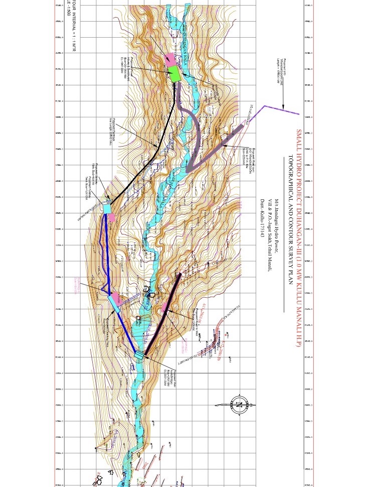
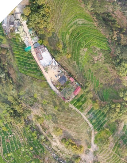
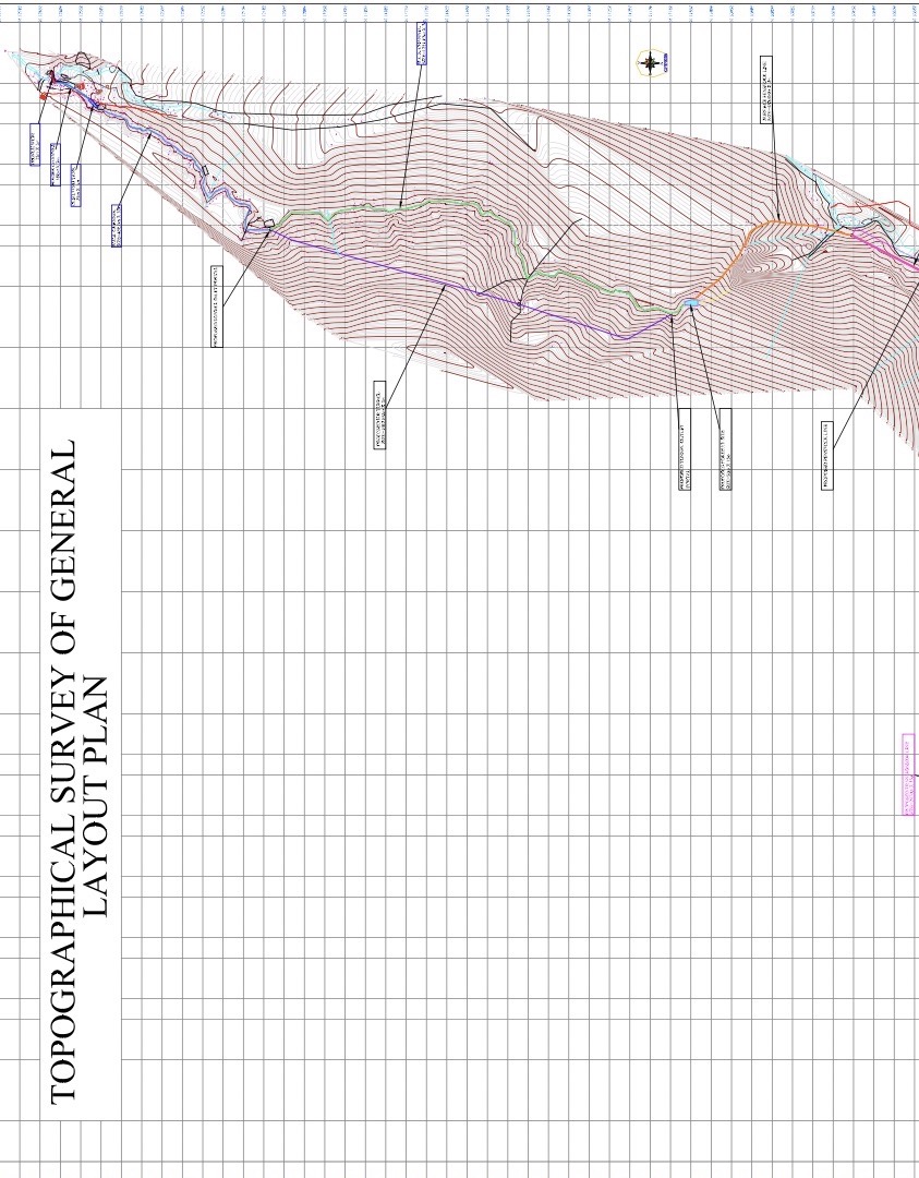
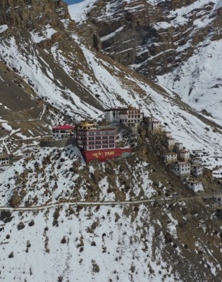
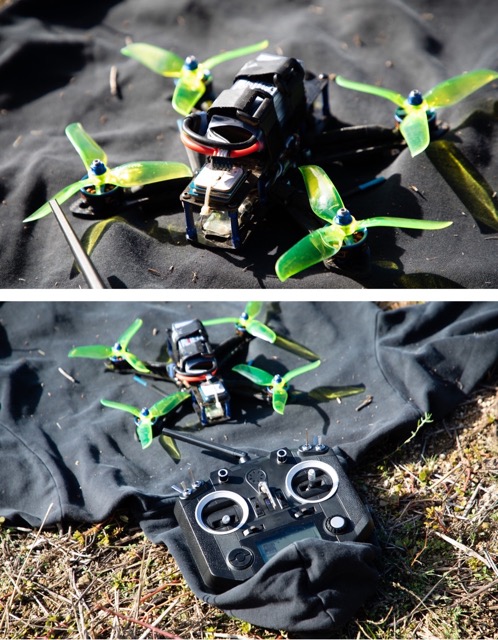
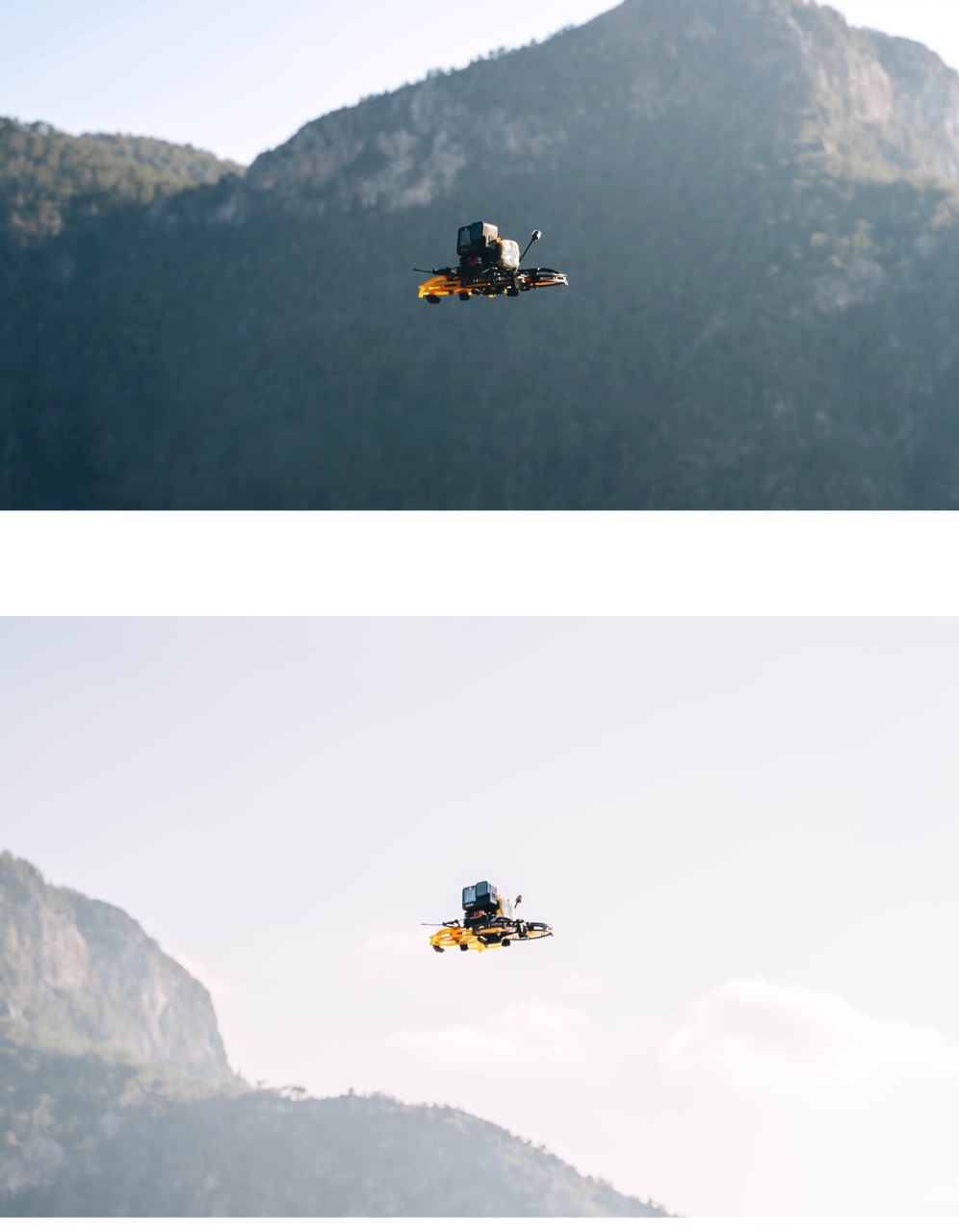
Our work
have a look of our work

why choose us ?
Himalayan Droneshala offers enterprises a cost-effective, efficient, and safe solution for their mapping and surveying needs, providing them with accurate and reliable data that meets their business objectives.
Leading in Industry
Advance Equipment
Best in class Equipments
Book NowOur Features


Drone mining surveying enables a professional to obtain specific Aerial data of mining sites for boosting productivity, planning, safety, inventory management, etc. In the mining industry, Drone Mining Surveys include UAVs furnished with RGB cameras to seize a site’s photographs from various perspectives. More

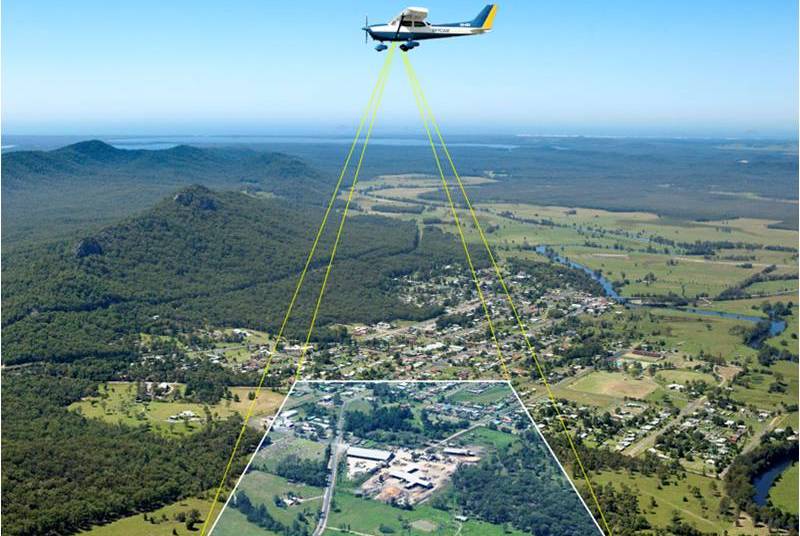
The use of Himalayan Droneshala to map disaster areas provides greater advantages in costs and in rapid response times when compared to traditional methods. Himalayan Droneshala can be deployed quickly, generate high-resolution and 3D mapping, identify hotspot areas that have sustained the most damage and upload More
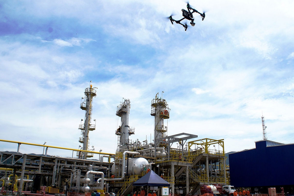
Himalayan Droneshala is revolutionizing the inspection industry. The impact of unmanned aerial automated drone inspections is making big waves in asset management as well as in different sectors. Industries can perform inspections from a safe distance without using expensive ladders or scaffolding gear while securing life . More

India has more than 1,15,435 km national highways. Due to increased traffic on road. The government set across an ambitious target of building 15,000 kms of roads in 2016-17, but due to traditional methods used for construction and monitoring, only 8,200 kms of roads were built. More

Himalayan Droneshala in mining improve the overall efficiency of large mine site and quarry management by providing accurate and comprehensive data detailing site conditions in a very short time. Drone data provides more precise volumetric measurements than traditional surveying methods, such as ground-based. More
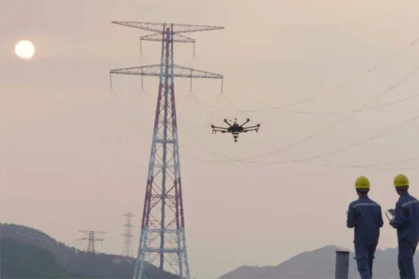
Himalayan Droneshala enable collecting the needed data for identifying and mitigating risks in power distribution in advance. Greatly reduce man hours and costs by automating inspections, saving 30 – 50% of the cost and time when using drones to conduct power line inspection. More

Contact Us
Find out how Himalayan Droneshala can solve problems specific to your Sector? Let’s talk
Our Team

Akshay(CEO)

Tanmay(COO)
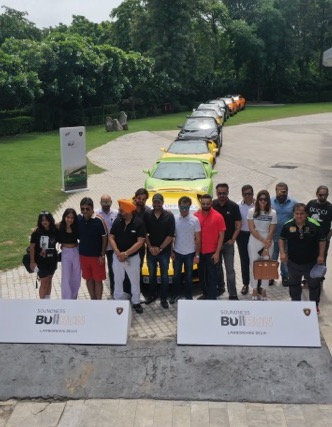
Our Clients
.jpg)
.png)

.jpg)
.png)
.jpg)
.png)
.jpg)
.png)